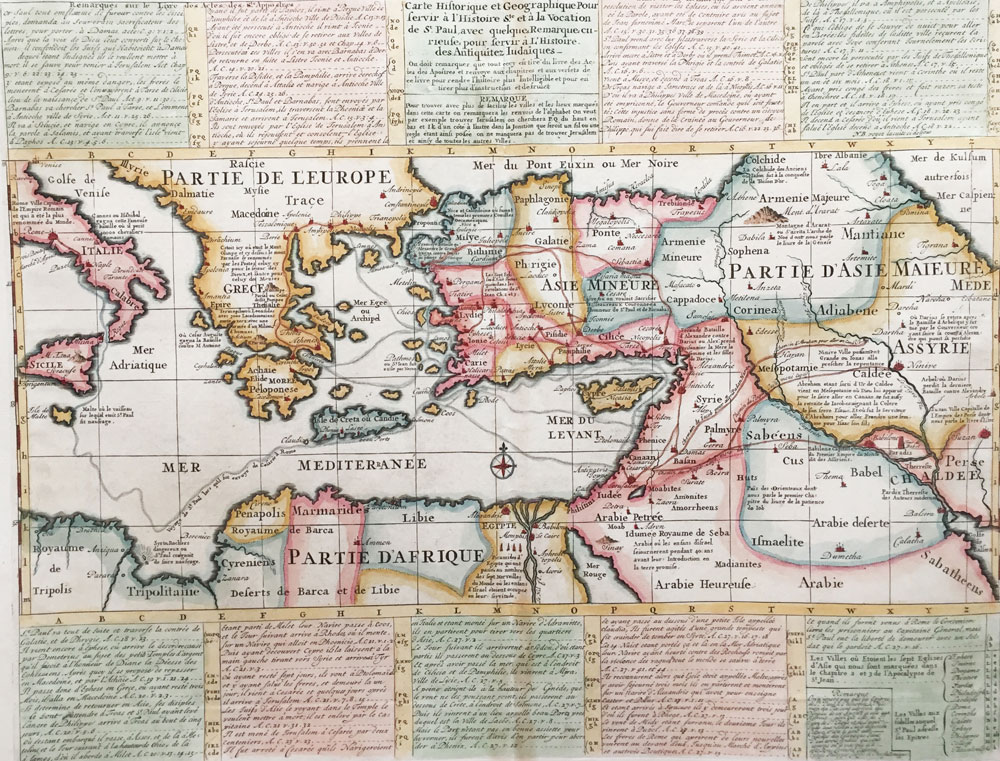
Description: Chatelain, Henry Abraham, Amsterdam, 1720
Caption: Interesting sheet with a map of the travels of Saint Paul, including eastern part of Europe, Asian continent and part of north Africa, with descriptive French text, from Chatelian’s monumental 7 volume Atlas Historique. Carte historique et géographique pour servir à l’Histoire Sainte et à la Vocation de Saint Paul, avec quelques remarques curieuses pour servir à l’Histoire des Antiquités judaïques. In upper right margin: ‘Tome 7, No 34’. 13.2 x 17.3 inch


Leave a Reply